
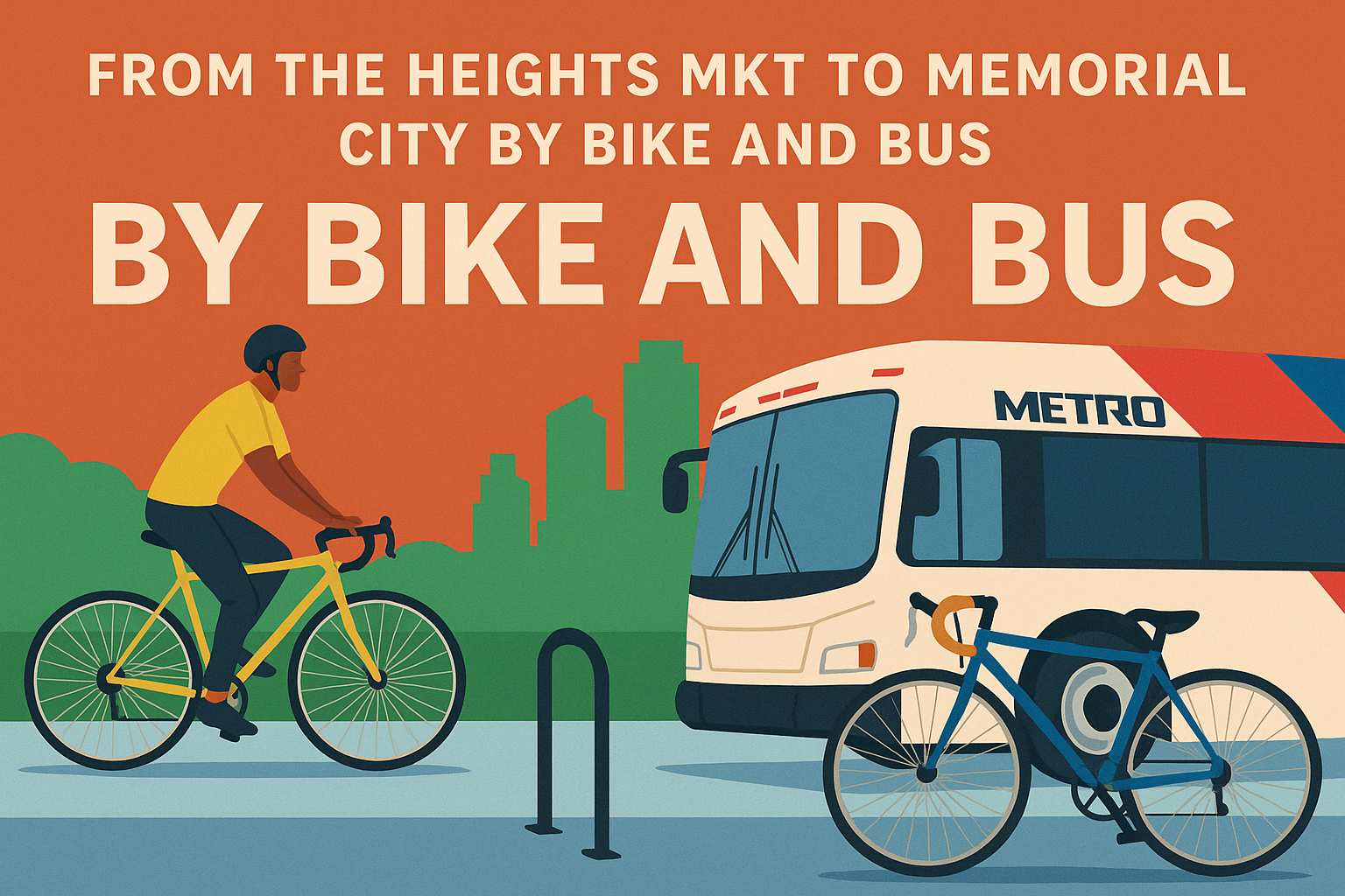
From the Heights MKT Trail to Memorial City, it’s just as fast as driving — without the headache of parking. Last Tuesday, I put it to the test on my way to Cup of Joey at Blacksmith at One Memorial City Plaza, one of the city’s most unique networking events. Instead of battling traffic, I combined a short bike ride with a bus trip, a method many affectionately call bike and bus.
I wanted to arrive around 9 a.m., so I checked the Transit App for departures. I already knew that Bus Route 26, which passes by 20th Street in the Heights, connects directly to Memorial City. But I was excited to see that the 161/162 West Memorial Express routes also make a stop at Northwest Transit Center. Because they’re express buses, the trip from the Transit Center to Memorial City takes just 13 minutes.

That’s competitive with driving: about 22 minutes behind the wheel, plus another 5–10 minutes of circling for parking. At Cup of Joey, three different people mentioned how tough parking was that morning. For me, it was effortless — I locked my bike on the rail right outside the building and walked straight in.

The Ride to the Transit Center
I had biked to Northwest Transit Center before — even reaching Edwards Movie Theater in about 18 minutes to see The Whale. The connection along Old Katy Road is serviceable but rough, with narrow sidewalks and overgrown grasses that sometimes spill into the path. West of the railroad bridge, a Ghost Bike marks the site of a cyclist’s death, underscoring how little attention the region pays to basic maintenance and safety.

Still, from Nicholson and the MKT Trail it was only a 15-minute ride, even at a comfortable pace. What’s striking about the Transit Center is the sheer number of bike racks — yet the space feels uninviting and insecure. Few would feel comfortable leaving their bikes there long-term.
The truth is, Northwest Transit Center has the bones of a great hub. Distances are short, connections are fast, and the express buses perform impressively. What’s missing is better wayfinding and a cultural shift: more people need to know this option exists. The city should lean in with resources that encourage transit ridership. Even with METRO’s recent downgrade of the Silver Line from BRT to local bus, the overall system is better than most people think.

The Express Bus Experience
The express bus itself was comfortable. Bikes slide into racks tucked beneath the cabin, though I did need help from the operator to figure out how to collapse the lever. Thirteen minutes flew by while I worked on my laptop, and I nearly missed the fact that the bus stopped just 0.4 miles from my destination.
Crossing Gesner at Kingsride Lane, I hit a snag: a sidewalk closure forced me to hop the curb and briefly ride into traffic. Fortunately, a stoplight gave me space from passing cars, and within minutes I was rolling up to One Memorial City Plaza.

Cup of Joey and What’s Next for Memorial City
I was pleasantly surprised by the ramp design and drainage at the building — small details that make a difference when arriving by bike. Cup of Joey itself didn’t disappoint. For those unfamiliar, it’s a movement that connects people around purpose, not business cards, beginning every conversation with a simple question: What’s your “Y”? (cupofjoey.org).

I also heard exciting news from MetroNational about Greenside, a redevelopment of former industrial buildings into a vibrant, community-focused destination. In partnership with Radom Capital, Michael Hsu Office of Architecture, and Endurance Builders, Greenside will bring local restaurants, curated retail, and lush patios to Memorial City when it opens in 2026.
The Return Trip
On the way back, I opted for the local Route 26. The ride took 35 minutes — nearly triple the express time — since the bus made frequent stops and hit several lights. Still, it was seamless to connect to the Shepherd Bikeway and ride over to Flower Child on 14th Street for lunch. From there, it was a quick mile down Nicholson to get home.
Final Thoughts
The whole experience underscored how competitive bike + bus is with driving, especially when parking is factored in. What’s more, it’s less stressful, cost-effective, and productive — I answered emails on the bus instead of gripping a steering wheel. Houston already has the infrastructure for more people to take advantage of it. What’s missing is awareness, cultural adoption, and the small fixes — like wayfinding, sidewalk upkeep, and inviting transit hubs — that make the experience more welcoming.
Next time you’re heading west, skip the parking lot shuffle. Grab your bike, catch a bus, and see for yourself how easy it can be.


Leave a Reply